Congratulations Dr. Li and Dr. Mansour!
We're proud to celebrate Dr. Shiyi Li and Dr. Islam Mansour, who both defended their doctoral examinations this month.
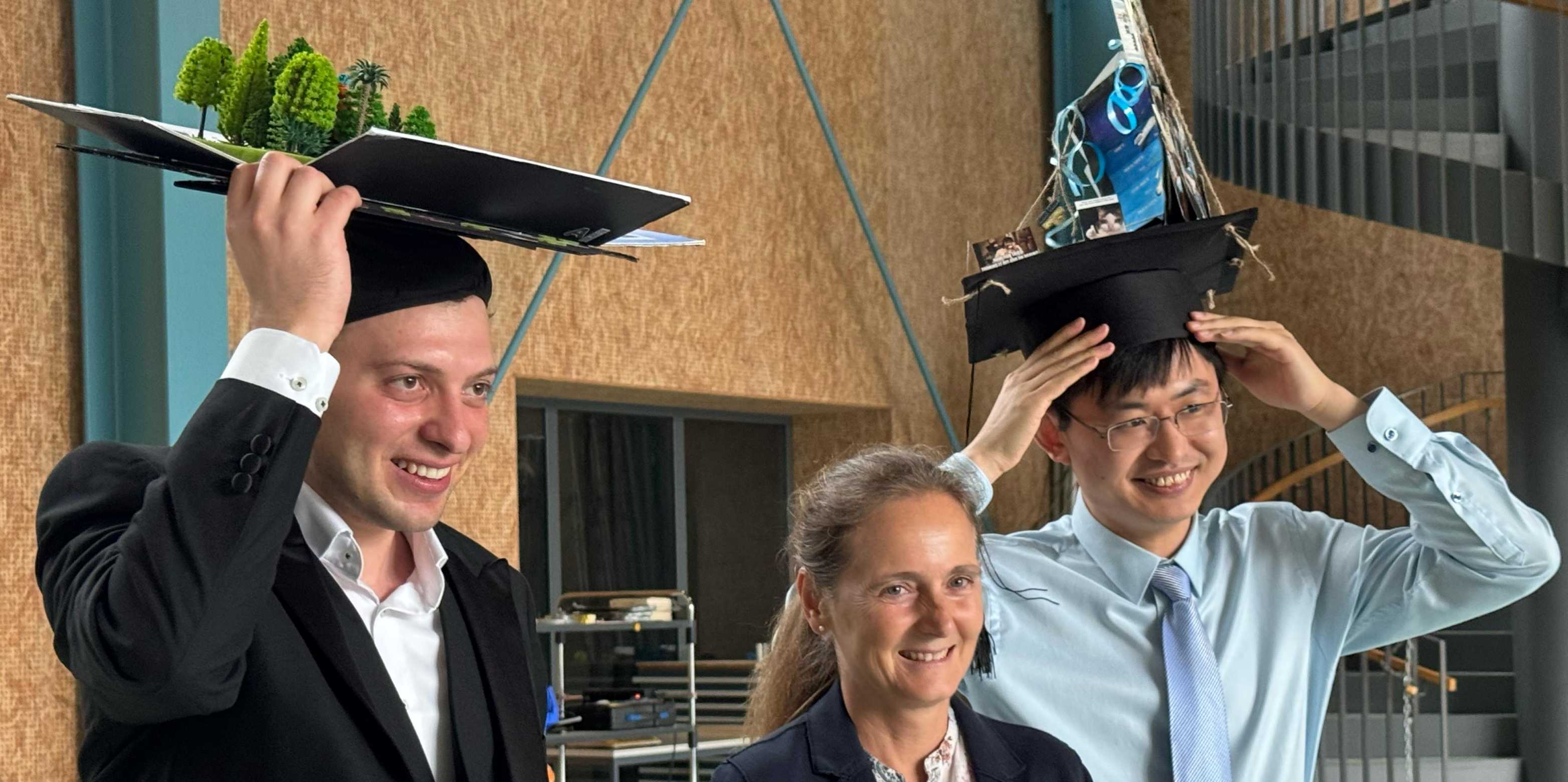
On June 4, 2025, two doctoral candidates from our group, Shiyi Li and Islam Mansour, successfully presented and defended their doctoral theses. This marks a significant milestone in their academic journeys, and we couldn’t be prouder of their hard work and dedication.
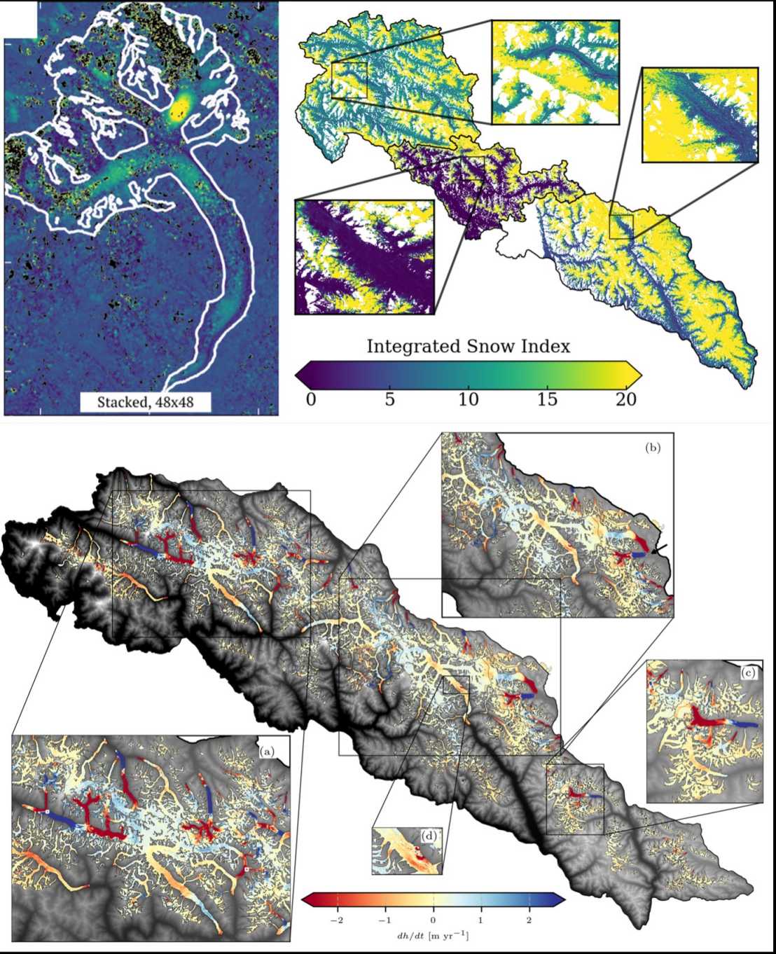
The first thesis, presented by Shiyi Li, is titled "Advancing Applications of Synthetic Aperture Radar for Cryosphere Studies in Alpine Regions". This research introduced innovative methods to enhance the observation and analysis of the alpine cryosphere using Synthetic Aperture Radar (SAR) technology, providing valuable insights into the changes occurring in these sensitive environments.
The work focused on three key cryosphere components:
- glacier flow velocity
- snow cover
- glacier mass balance
By utilizing advanced SAR datasets, the study covered two significant mountainous regions, the Alps and the Karakoram, contributing to a large-scale understanding of cryosphere dynamics and their implications for climate change.
The second thesis, presented by Islam Mansour, is titled “Hybrid AI-Physical Modeling in Interferometric SAR: Bridging Data-Driven and Physics-Based Approaches for Enhanced Parameter Retrieval.” This research introduces a novel hybrid framework that combines physical modeling with machine learning to improve the retrieval of geophysical parameters from single-polarization single-baseline InSAR data.
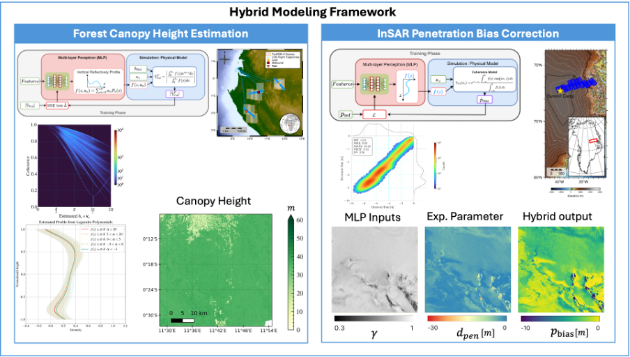
Focusing on two key Earth observation applications—forest canopy height estimation and radar penetration bias correction over ice sheets—the work demonstrates how hybrid models can achieve both physical consistency and improved generalization across diverse terrains and acquisition settings. The approach leverages data from the TanDEM-X mission, enhanced by multispectral Landsat imagery and airborne LiDAR. The forest canopy study focused on Central Africa, while the ice sheet application incorporated NASA’s IceBridge Airborne Topographic Mapper (ATM) LiDAR to evaluate penetration bias between the TanDEM-X and ATM-derived digital elevation models over Greenland. By integrating physics-based constraints into data-driven learning, the study offers a promising direction for developing more robust, interpretable, and scalable remote sensing solutions in support of climate monitoring and environmental modeling.
We anticipate their continued success in their future endeavors and look forward to their ongoing contributions to the scientific community.